Mount Kisco History
The New York State Board of Regents chartered the Mount Kisco Public Library on March 31, 1910. The Library is governed by a Board of Trustees who set policy, oversee the Library budget and perform other vital functions. Board members are elected to three year terms.
The Mount Kisco Historical Society's primary objectives are to keep Mount Kisco history alive and virbrant across and within our unique community. We do this as Mount Kisco historical preservers, archivists and through a comprehensive MOunt Kisco historical education program comprised of presentations and guided walks held throughout the year. Click on the icon below titled MOUNT KISCO HISTORICAL SOCIETY to access our new website, join our efforts, attend our activities and events or find out how you can lend your support. Click on the icon titled MOUNT KISCO 'THE LONG JOURNEY' to learn about what we accomplished in 2012 and what our objectives for 2013.
Eva Marshall - President (Primary Contact - MK Historical Society and Archives)
Home: (914) 666-5390, Cell: (914) 391-8921
Email:
Mount Kisco Historian
Harold McCartney
60 Barker St. Apt 216
Mount Kisco, NY 10549
Home: (914) 666-7708, Cell: (914) 589-9784
Email: MCCTNEY@PRODIGY.NET
Mount Kisco Public Library Newspaper Holdings on Microfilm:
- Mount Kisco Recorder, 1877-1891
- Mount Kisco Recorder, 1914-1940
- New Castle Tribune, 1928-1959
- North Castle Times/New Castle Tribune, 1959-1963
- Patent Trader, 1958-2007
- Reporter Dispatch, 1980-1/1998
Historical Maps:
 |
 |
 |
 |
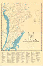
| Westchester Heritage map (2.7MB) from the book "Atlas of the Village/Town of Mount Kisco" compiled by Frances Cook Lee. |
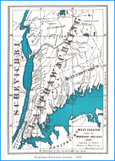
Westchester County Under the Mohegan Indians, 1608 (1.1MB) from “The History of Westchester County” by Robert Bolton, 1848. |
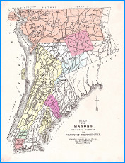
Map of the Manors (565kB) compiled from Manor Grants and Ancient Maps from “History of Westchester County” J. Thomas Scharf, editor. |
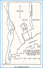
Map of Boundry Dispute, (111kB) from “Bedford Historical Rcords” volume 1, page ix. |
 |
 |
 |
 |
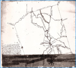
| 1797 Map of the Township of Bedford (635kB) prepared by Charles Webb. |
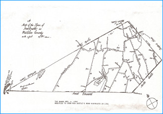
1797 Map of the Township of New Castle (336kB) prepared by William Adams modified to show fifteen road districts as prepared by Francis Cook Lee. |
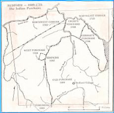
Bedford’s Eight purchases from the Indians, including the Hopp Ground purchase of 1680 (shaded area). From “Bedford Historical Records”, volume IV, page ix. |
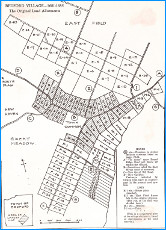
Bedford Village original Land Allotments 1680 - 1685 (528kB) from “Bedford Historical Records” volume II, page 176 |
 |
 |
 |
 |
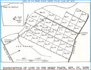
| Distribution of Lots in the Great Plain laid out in 1690 (123kB) from “Bedford Historical Records” volume II, page 181 |
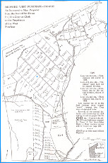
Bedford West Purchase 1700 - 1738 (545kB) An Interpretive Map Prepared from the Record Set Down by John Copp as Clerk to the Proprietors of the West Purchase from “Bedford Historical Records” volume II, pages 262-263 |
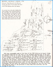
Surveyor’s Map Drawn for the Division Among the Town’s Twenty-nine Patentees of the 1723 Purchase from the Indians (332kB) from “Bedford Historical Records” volume II, page viii |
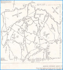
Bedford Township about 1725 (258kB) drawn from highway and land records of the time by A. I. Bernhard. from ‘Katonah, The History of a New York Village and Its People by F. R. Duncombe, pages 66-67 |
 |
 |
 |
 |
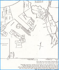
| Holdings of Van Cortlandt heirs (262kB) Originally prepared in 1743 by Samuel Purdy to show the Bedford lands owned by heirs of Jacobus Van Cortlandt. from “Katonah, The History of a New York Village and Its People” by F. R. Duncombe, pages 146-147 |
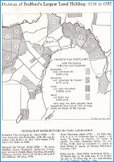
Division of Bedford’s Largest Land Holding: 1738-1787 (434kB) from “Bedford Historical Records” volume II, page viii |
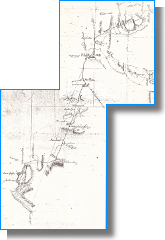
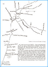
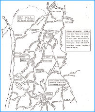
Military Routes through Bedford. from “Bedford Historical Records” volume II, page 288 |
Military Routes through Bedford. from “Bedford Historical Records” volume II, page 288 |
 |
 |
 |
|
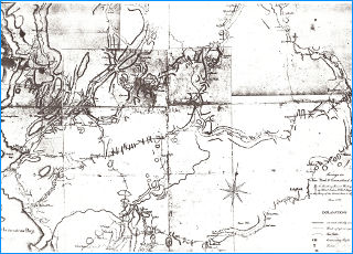
| Surveys in New York and Connecticut States for His Excellency General Washington, 1778 (700kB) from Robert Erskine, DeWitt Map (Courtesy of the New-York Historical Society) |
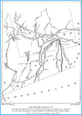
The Bedford Area in 1779 (184kB) Buildings and sites referred in eyewitness accounts on 1858 Westchester County Map. (from “The Burning of Bedford July 1779”) |
|
|
MORE COMING SOON
 top of page


